Having trouble reading this email? View it in your browser.

Today’s challenges require modern solutions. Billions are being invested to upgrade technology infrastructure and cloud solutions to meet these challenges. However, at the same time, budgets are constrained and expenditures need to be justified by demonstrating clear value.
Near-daily satellite data is transforming how governments monitor their territories with more timely, accessible information and reliable reporting. High-frequency imagery can reveal key insights into crop health, human activity across protected forests, and where to dispatch emergency resources after a disaster. More easy-to-use, affordable geospatial platforms are here to usher in a whole new era of intelligence on the ground to inform and enhance the role of government for safer, more prosperous communities.
So, how can we exploit the full potential of satellite imagery?
Let’s join us and hear from insightful speakers on how information from frequently collected satellite imagery can help governments to better manage infrastructure monitoring, project assessment, change detection, natural resource management, agricultural monitoring, environmental compliance, and disaster impact assessment!
Tune in to our complimentary live virtual thought leadership session! Register Now
| Moderator: |
|
| Prof. Dato’ Dr. Ahmad B. Ibrahim, Head of Research, Confexhub & Senior Advisor, Fraunhofer |
| Panellists: |
|
| • | YBrs. Tn. Haji Azlikamil bin Napiah, Director General, Malaysian Space Agency (MYSA) |
| • | Mr. Jamil Derus Bin Ahmad,
Deputy Director General (Disaster Planning and Preparedness), National Disaster Management Agency (NADMA) |
| • | Ts. Dr. Ahmad Safuan Bin Bujang, Research and Development Head, Agriculture Vertical, JustGood Group, Malaysia and Principal Research Officer, Engineering Research Centre (ER), Malaysian Agricultural Research and Development Institute (MARDI) |
| • | Mr. Jonathan Ong, Regional Sales Manager, SEA, Planet |
Tune in to our complimentary live virtual thought leadership session! Register Now
Mark Your Calendar
|
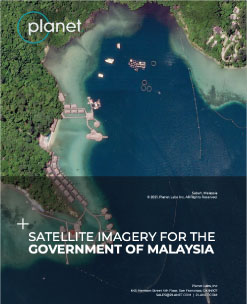
SPECIAL REPORT
Planet's always-on satellite imagery data is enabling governments to monitor their entire territories all at once on a near-daily basis, and thus for the first time consistently providing timely, accessible information and reliable reporting. Such high-frequency wide coverage imagery reveals key insights into crop health, human activities across protected forests, and into disaster management - before and after disaster analysis which help in future prevention / mitigation and more effective emergency resource management.
In this white paper, you’ll learn how near-daily satellite imagery can support Malaysian Government’s efforts in identifying, monitoring, and analysing changes and activities across the country. Planet’s offering could enable the Government of Malaysia to obtain timely status updates, and make informed decisions over key areas of interest (AOIs).
Download the white paper now
|
|
Connect with us to get the latest news & update by: